Severe thunderstorm warning issued for Onondaga County
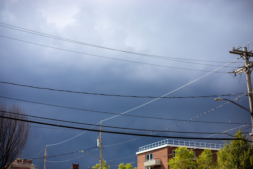
An emergency alert sent around 3:45 p.m. said the Syracuse area is under warning for severe thunderstorms until 4:15 p.m. The alert advises those in the area take shelter due to flying debris and 80 mph winds. Leonardo Eriman | Photo Editor
Get the latest Syracuse news delivered right to your inbox.
Subscribe to our newsletter here.
A severe thunderstorm weather alert was issued for Onondaga and Cayuga counties at around 3:43 p.m. Sunday.
Residents are being advised to take shelter in a sturdy building and avoid windows.
Winds are expected to reach up to 80 mph with ping pong ball-sized hail, according to the National Weather Service. Heavy rainfall is expected with a possibility of flash flooding.
The New York State Fair reopened to visitors at 5:45 p.m. after the heavy winds and rain closed its doors and forced fairgoers indoors, according to its post on X. The GROUPLOVE concert was delayed from 6 p.m. to 6:30 p.m.. Busta Rhymes will perform at 8 p.m. as scheduled.
At 3:32 p.m., NWS detected a severe thunderstorm 10 miles north of Auburn in Jordan. Impacted locations include Syracuse, North Syracuse, the New York State Fair, Onondaga, Clay, Cicero, De Witt, Lysander, Van Buren, Baldwinsville and Solvay, according to NWS.
This post will be updated with additional reporting.